Evidence record · Ireland
1655 ADThe Down Survey Maps Confiscation
A Down Survey map makes the point visible: the conquest became durable when survey lines translated fields, owners, and claims into a ledger for soldiers and creditors.
Open the interactive frame→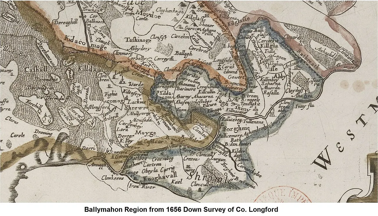
Why it matters
Economic life made visible
Evidence dossier
Read this moment as a hinge
2 minute source-led readFollow the material pressure
Read 1655 AD as a hinge, not a label. A Down Survey map makes the point visible: the conquest became durable when survey lines translated fields, owners, and claims into a ledger for soldiers and creditors. That places “The Down Survey Maps Confiscation” between “Transplantation Orders Drive Families West” and “The Restoration Settlement Protects New Owners”, while land, law, confession and settlement were being locked together into a durable order.
Put one person in the frame
Bring the frame down to one life in Ireland: a household balancing survival against rules made elsewhere. The public event is the visible surface; underneath it sits land, food, wages, rent, trade and debt beneath the public argument.
What this changes next
A Down Survey map makes the point visible: the conquest became durable when survey lines translated fields, owners, and claims into a ledger for soldiers and creditors. Its importance lies in the altered field it leaves behind: the next actors inherit different risks, institutions and choices. Remove this record and the move from “Transplantation Orders Drive Families West” to “The Restoration Settlement Protects New Owners” becomes much harder to explain.
Unexpected angle“Oliver Cromwell by Samuel Cooper” is a direct archival trace, but it is still an argument made by framing. Ask what sits outside the image before treating visibility as completeness.
Source ledger